top of page

AW Aviation Consultancy Services Limited
Radar data consultants.
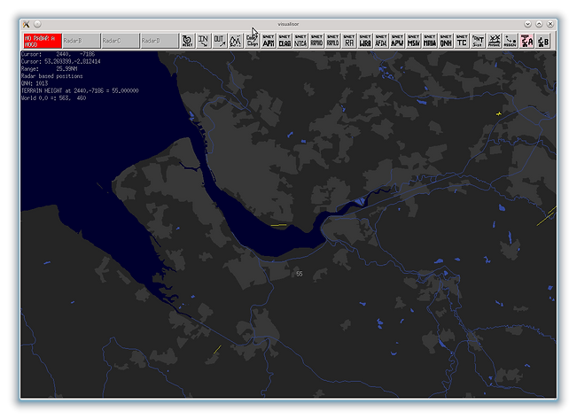
Ordnance Survey based radar maps
All our radar maps are based on the WGS84 World datum. It should be noted that the UK Ordnance survey national grid uses the OSGB36 reference system. The same OSGB36 and WGS84 Latitudes and Longitudes can differ by ~70-120 meters east/west depending on location. All OSGB36 coordinates are translated using the Helmert translations which result in an accuracy of up to 7 metres for the converted WGS84 position.
Native maps for the following systems can be provided:
Other RDP systems?
Send us a map file snipit and we can produce a conversion routine to support.
bottom of page